|
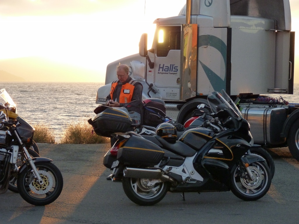
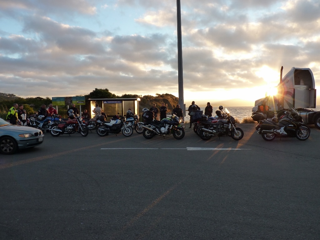
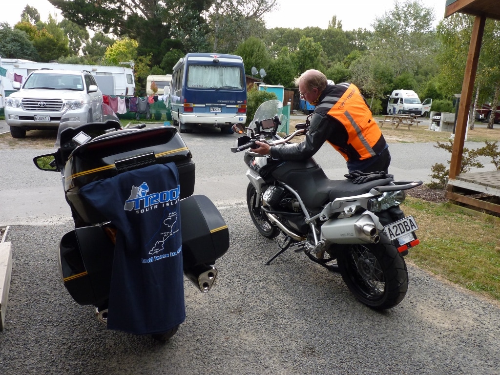
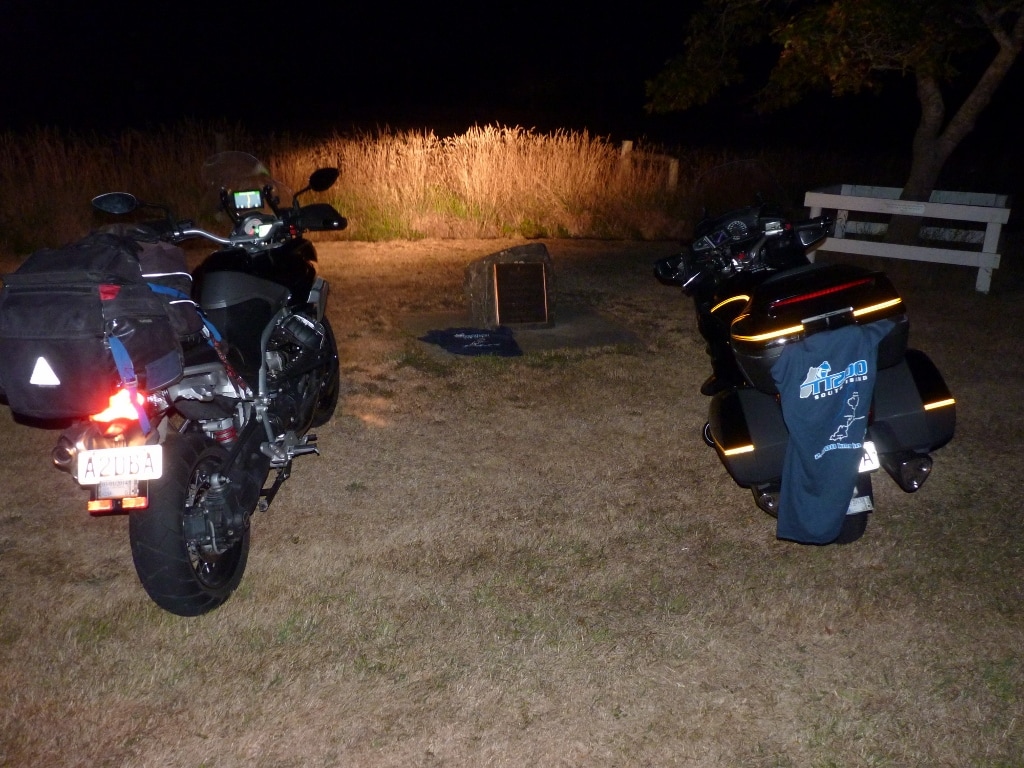
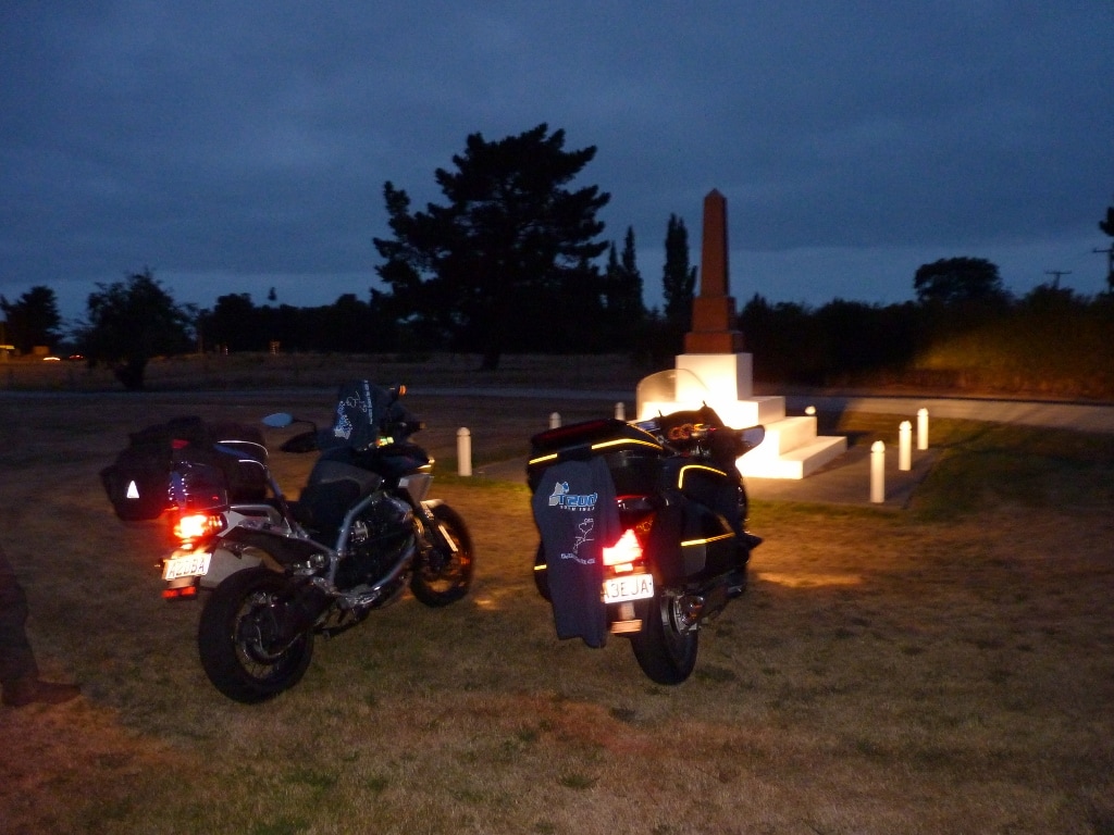
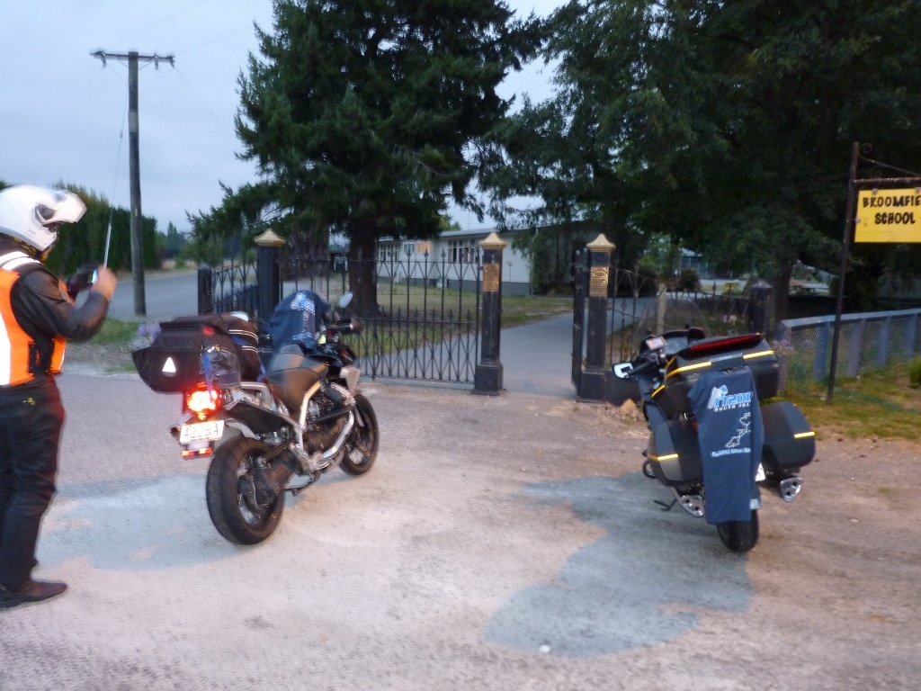
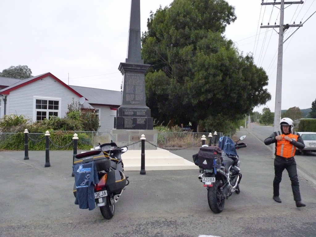
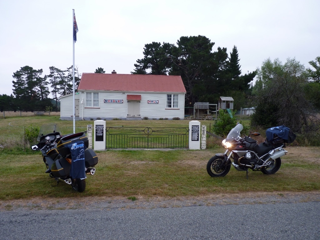
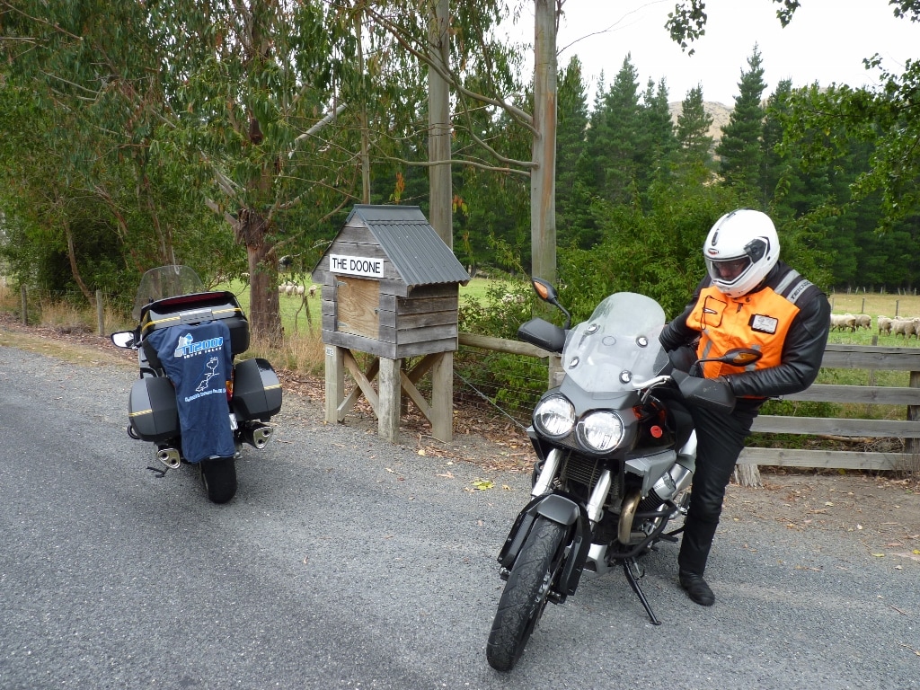
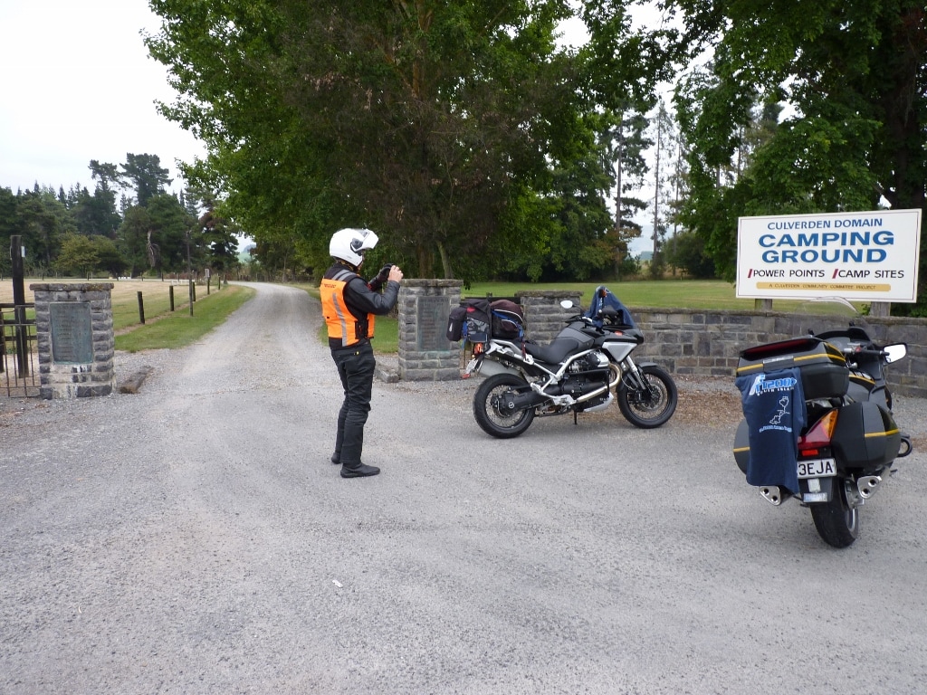
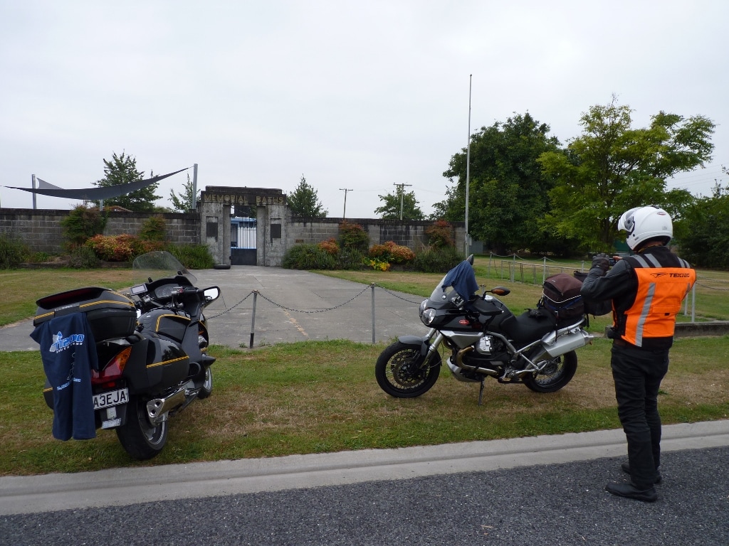
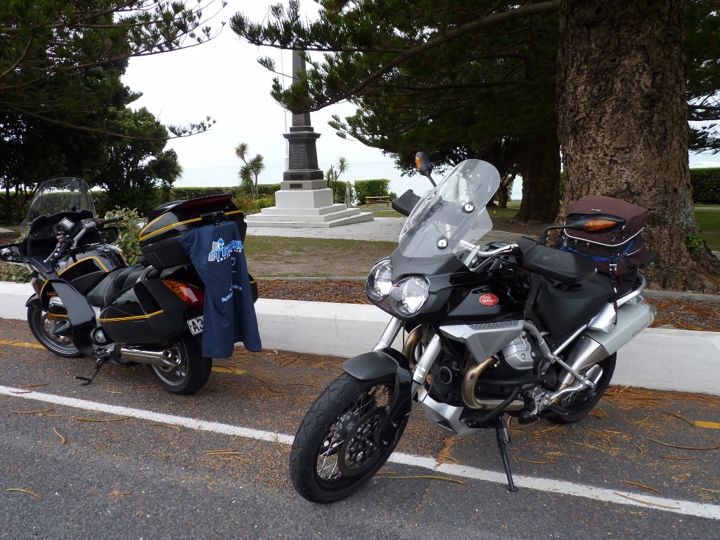
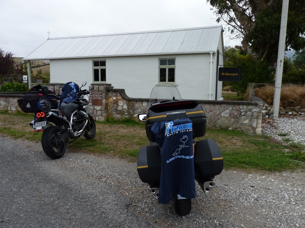
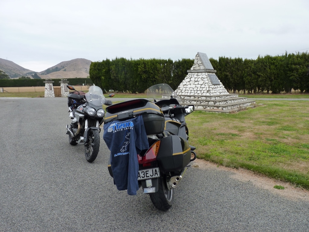
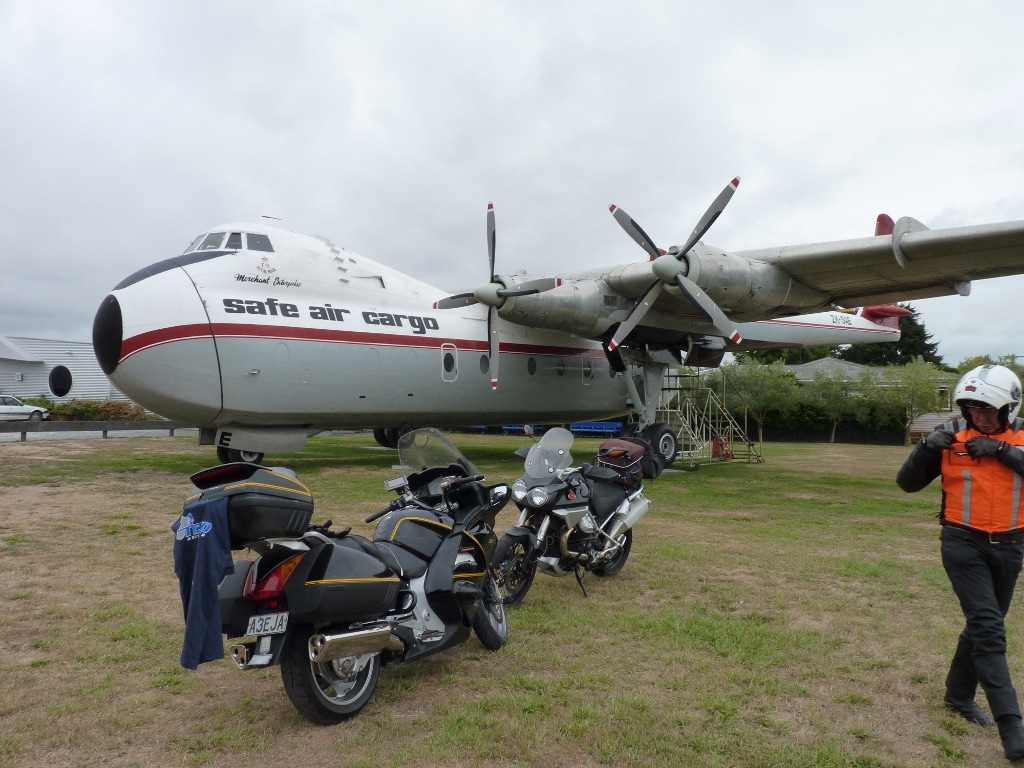
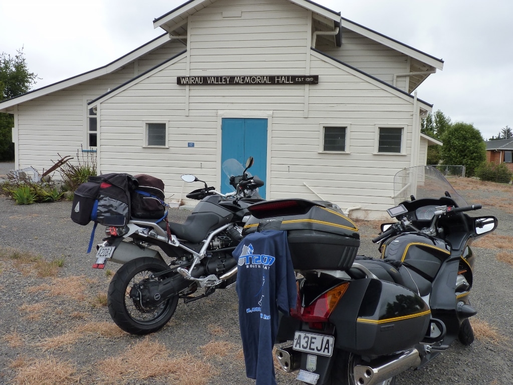
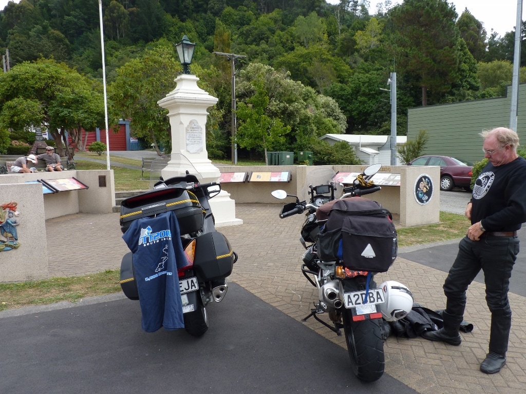
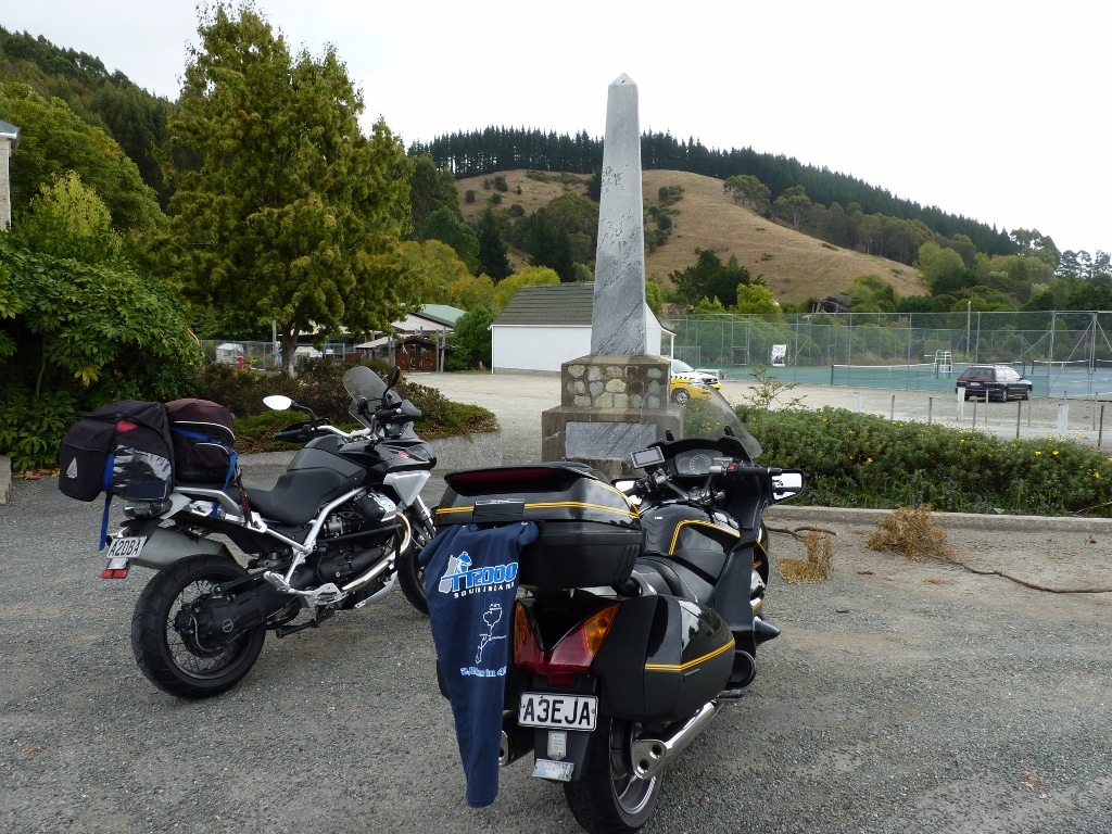
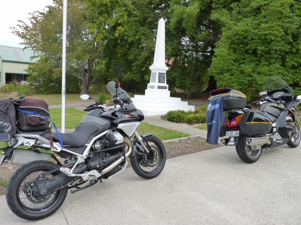
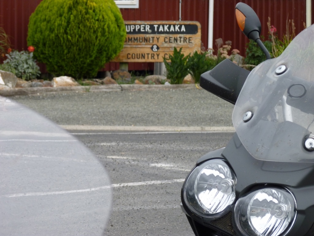
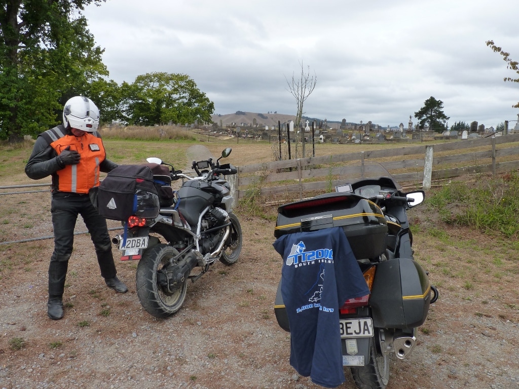
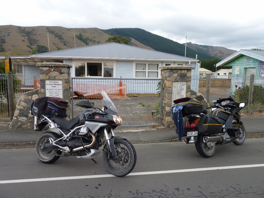
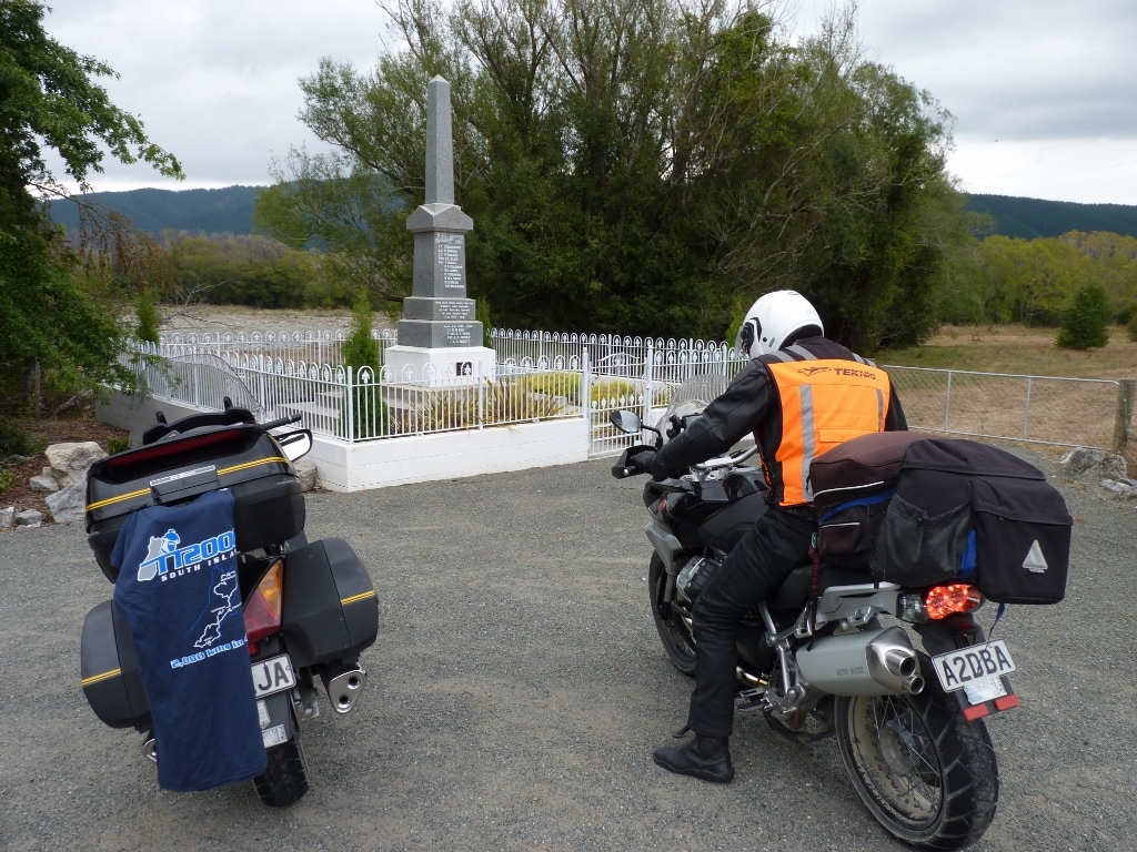
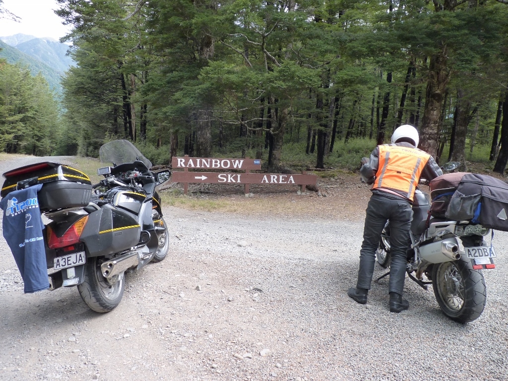
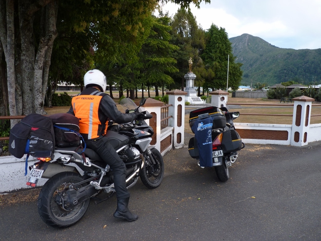
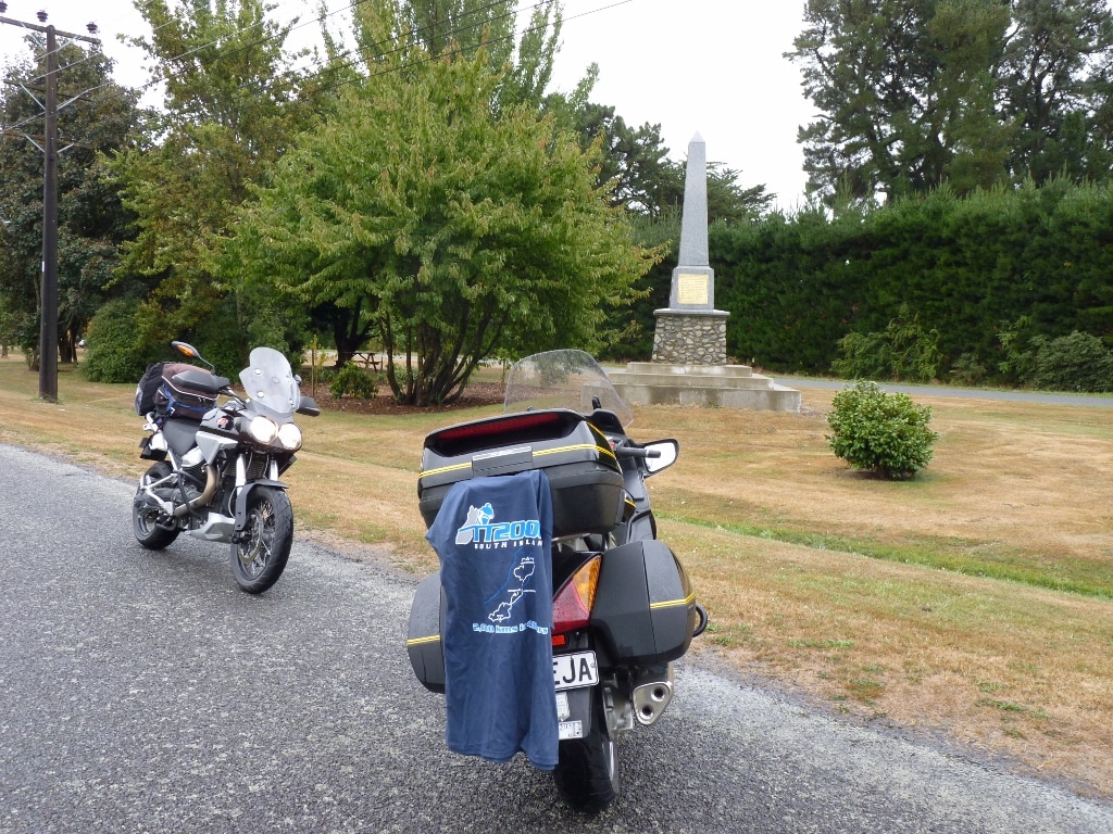
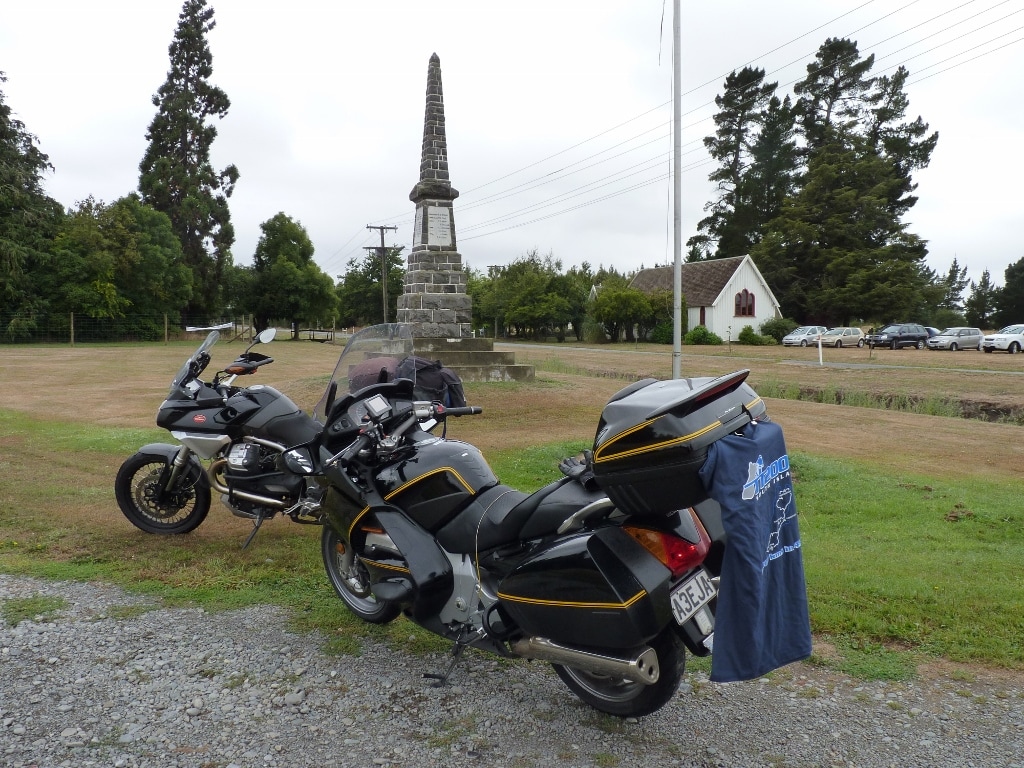
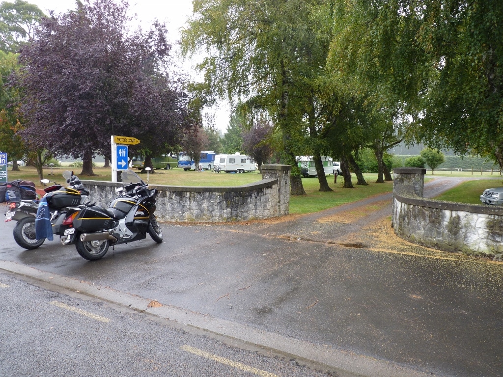
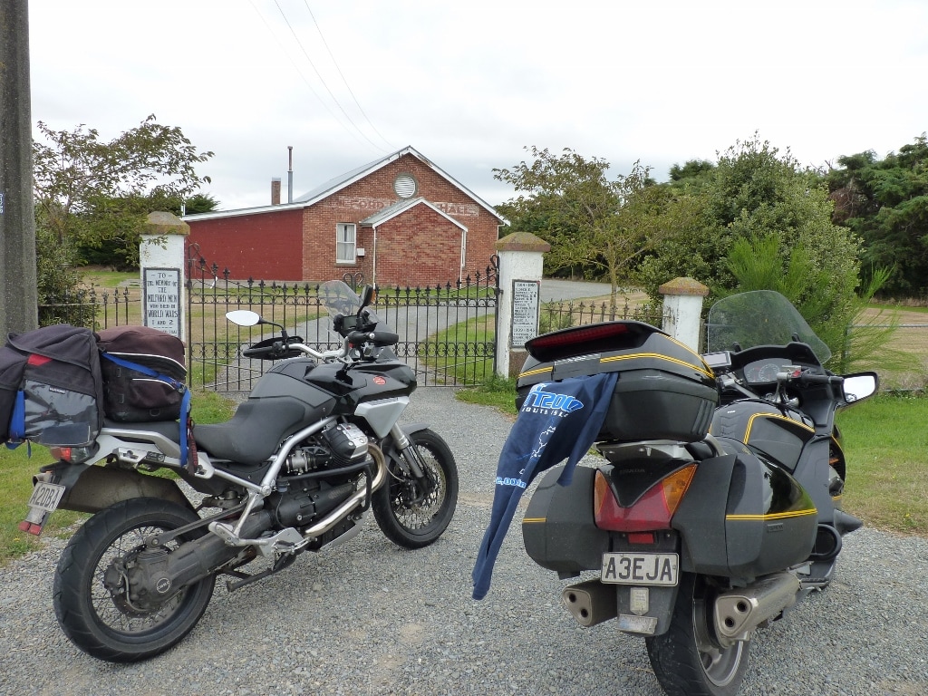
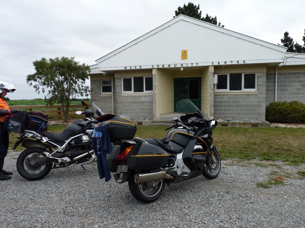
I don't think I was supposed to do the TT this year (again!!....I missed last year due to hip, conditioning & ping problems). Steve and I were all booked when he managed to get taken out by a 4WD on the Molesworth... “Oh well”, I thought, “No one to share the cost, but she'll-be-right, I'll just do it myself!”... but not so! After my wee altercation with black ice last year, she-who-must-be-obeyed advised, “Like Hell! You're not doing a ride like that by yourself!”, so I advertised for another riding buddy. Time passed with no takers, I was getting desperate and about to invite one of my imaginary friends when Trevor stepped up to the plate....whew, that was close. Then Ann's dad got crook. His health had been deteriorating for awhile and two weeks out from the TT, he ended up in hospital and it was a case of, “He might last days or months but we can't do anything for him”, so he went home to finish his days in familiar surroundings with his family around him. Old Wattie was a good bugger and he died on the Thursday morning (when I was pretty much packed to go the next day)......*sigh* I thought....but not so. When advising Mike Hyde (the author of the Twisting Throttle series of books and organiser of the TT2000), he said, “Do it next week!” Bloody marvellous....the Interislander were happy with that and so were the nice people at 219OnJohn's in Chch and the Seal Colony Top 10 in Westport...We were on!! All my prep (and there was lots of it) wasn't to be wasted. After spending much time selecting a route from the multitude of options, an overnight stop point had been identified and accommodation booked, fuel stops were programmed in for Steve's 350Km 'Busa range, then adjusted for Trevor's 250Km Stelvio range, booklets compiled for our checkpoint details, printed in the order they occurred, (compliments of my boss at AIB), spreadsheet prepared, breaking down the Km's between CP's, the time per leg, stopped time and ETA....hmmm a bit of a long day Saturday??....another spreadsheet for an alternative to drop 90Km (Rainbow) on Saturday and add 100Km (Mt John) on Sunday, route dropped to the GPS and checked, gear prepped, new front tyre obtained.....and so on. Day 1: Come Friday the 1st of Autumn at 0700'ish, we were checking in and queuing-up to board the Kaitake on a splendid Wellington morning. There were 'Classic' events on because there were heaps of old (70's type) bikes aboard as well as lots of Corvettes. We tied-down the bikes, parked ourselves in the cafeteria, waited for the queue to disappear before getting a feed, then watched another queue form as we waited for fresh bacon to come, we relaxed and chatted and at 1140 we were rolling out of Picton for a sedate cruise down SH1 to Christchurch, pausing for fuel in Kaikoura, noticing how many rivers were dry along the way and just enjoying the ride, arriving at the camp ground at 1640...exactly 4 hours to do the first 329Km of the weekend. We settled into the cabin (which I might add was able to be upgraded from a single cabin to a two room chalet with the change of weeks), then waited for Mike to turn up at 1750 with our T-shirts (these are required for the CP photos) and at 1802 we embarked on our quest to do 2,000Km in 48hours. The first wee jaunt was to flit over to Okains Bay, on Banks Peninsular, to grab the 5,000 points on offer. The original plan was to do this on Saturday morning, but by throwing it in on Friday night and finishing by 1800 on Sunday meant we were still completing within 48 hours but could do so with a nice cruisy Sunday ride. I haven't ridden over those parts since 1974, so it was pretty much new ground (although the blessings of age mean that two weeks between rides and every one is over new ground...which is quite handy when living in Wellington with only two routes in and out). Once again, there was no hurry so it was more relaxed cruising.... until I got to Little River and some little brain explosion occurred.....but....in my defence, although there were a couple of transgressions into ticketable territory, “I did not exceed the allowable limits...officer!”....I really like roads like that!! With cobwebs removed from the brain, we idled down to the Stoney Beach CP (which isn't a beach at all, and not really that stoney either...in fact it should have been called Grassy Corner) then stopped for pix of Okains Bay from the top of the hill as we made our way out, then picked-up a couple of extra CP's (that Mike had missed) at Taitapu and Halswell, allocating ourselves 1,000 & 500 points respectively....although the results indicate that Mike couldn't see his error!! Oh well, we stopped at a supermarket for some fruit and snacks, then grabbed a feed of pizza, finally getting back to the camp ground at 2226 for a well earned rest before our early start. Friday to Okains – GPS Stats 119kph Max Speed 68kph Moving Average 54kph Overall Average 3hrs Moving Time 205km 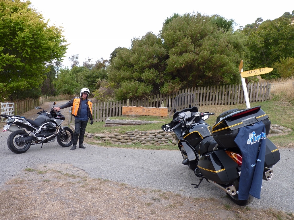 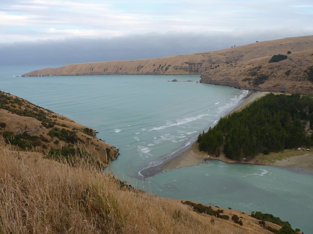 Day 2: I'd set the alarm for 0515 but opened my eyes at 0505 to find Trevor was already up, so I arose, scrubbed, packed the bike and we were on the road at 0553. We had 29 CP photos to collect and I had only allowed 1 minute per stop but it soon became apparent that our stops were taking 2-3 minutes? Damn, that would add between a half and one hour to the day!! It wasn't too much of a problem though as we had the alternative route and in the early hours we just applied a little extra briskness to the pace to claw back the odd minute here or there and soon had West Eyerton, Bennetts, Ashley, Broomfield, Hawarden, Medbury and the 1st fuel stop for Trev at Culverden in the bag. It was then onto Rotherham and over the Inland Route, picking up a pic at The Doone on the way to Kaikoura. These roads were all pretty straight and unpatrolled in the early hours of a Saturday, although we showed much restraint and just pootled (plus a little). I’ve done the Inland Route a few times and as per usual, there was the odd spot of loose stuff, but that road is a delight to ride and although we weren’t ‘fanging’ it, we managed to pick-up a few more minutes on the ETA, then slipped down to the Esplanade for the Kaikoura CP, pootled on to Kekerengu and at Ward we re-ward-ed ourselves with a 15 minute snack break….that was dumb. We were now in the dreaded domain of the Tasman Enforcers, so extra care was taken as we made our way to a combined fuel stop in Blenheim before embarking on more straight (boring) roads to Woodbourne, 20’something Km’s up the Wairau Valley, back to Rapaura, then on to Picton. Picton was designated as our 30 minute lunch stop, so we went to Subway, arriving there at 1227, which was pretty good as our hardcore time had us there at 1204 and our easy time was 1301, so we were right where we wanted to be and half way between…..and the foot long sub was delightful. On-On and we were soon embarking on the cursed Queen Charlotte Drive. I had decided to include this in the route as it’s been about 5 years since I last did it, normally preferring the easier riding, 27Km longer but same-road-time squirt around through Spring Creek to Havelock. I must say that with no real time constraints, we struck it with minimal traffic and there was a bit of loose crap but that is always expected, so it was rather pleasant and we had soon picked-up Havelock, Rai Valley, had a good scoot over the Whangamoas to Wakapuaka, on to Marsden then Trev fueled again at Z Richmond. I had been leading for most of the way as I was more familiar with the plan and the roads as we nipped out to pick-up Tasman, then enjoyed a jolly good fang over the Takaka Hill, (because it was there!.....and because we had to come back over it to get to the next CP). This was our ‘D’ time to decide whether to drop Rainbow or not, based on if we were there by 1600 and as I arrived there at 1601 we opted for the longer Saturday and easier Sunday. Trev led back, we both fueled in Motueka and it was after this that we started to lose time….sort of! Since riding through the secondary roads of the Inland Route and picking up plenty of time on the GPS ETA, I expected to do the same on the back roads of the Mot’ Valley, but not so. I guess I was a little remiss in my planning here as I omitted to check closely and by rights, I should have taken the Mot’ Valley Hiway from Ngatimoti to Dovedale, but the Thorpe-Orinoco Rd was one I hadn’t tried, it didn’t appear to be gravel on MapSource …so I took it! What a dumb bastard! It was gravel! A liberal coating of reasonable thick loose shit on the straight sections….or very corrugated gnarly hardpack through the curly bits….my poor ST’s suspension took a hammering!! The upside was, my GPS obviously knew it was crap so I didn’t loose any time on the ETA. Once out of that crap, we made our way out to the Mot Valley Hiway, picked up Tapawera and Kohatu, then made our way down Tophouse Rd to get Rainbow. This being a back country minor road and with time slipping on, we took the pace a half a notch above ‘allowable’ through here, but there were a few pieces of newly repaired road and just after we were exiting from one of these, we encountered one of ‘those’ cars coming the other way. A wave of dread swept over me as my foot had already started to caress the brake before my eyes could glance down to see that I was still only doing 100 (indicated – which is about 95kph)….whew!! Who would ever want to complain about a few roadworks slowing them down? So it was an uninterrupted On-On down to the Wairau Valley Hiway and over to the Wairau-Hanmer Springs Hydro Rd. What a load of crap that was. I’ve ridden better goat-tracks. Narrow as hell, heaps of fords (half of which had flowing water), stock wandering about, dim sections of beech forest and bloody great 4WD’s coming the other way…..OK,… one 4WD!...and I considered I was ‘scooting’ but I failed to pick up any time!! But we got the1000 point pic and now only had 3 to go. We made our way back out (and all the stock had disappeared), we flitted through St Arnaud and onto the long straight roads back to SH6 and the run into Murchison, for the all-but-one CP and more fuel for Trev. At this point we were going and doing bloody well because our hardcore time had us at 1827, our pootle time was 2034 and it was still only 1950...but…not too far out of Murchison (on the way in) I had managed to have an encounter with a curmudgeonly little fellow wearing yellow and black stripes. The little bastard flew in through my open visor, lodging in the snug space between my right temple and helmet (I presume also on the inside of my balaclava). I didn’t know what hit me, but the little prick obviously took exception to being prodded by a bloody great gloved finger…so he/she/it drilled his/her/its arse into the nearest bit of skin it could find…..Bloody hell!!! That smarts and elicited a response whereby the bloody great gloved finger and thumb found the little bastard (by luck) and it was only mere chance that I happened to see the stripy body and some goo bounce off the tank when I flicked it free. It was rather uncomfortable and I don’t carry any anti-histamines in the 1st Aid Kit, so I scanned the shelves in the Murchison Servo, but to no avail. Oh well, give it a rub….no stop aggravating it….bugger, give it a squeeze in case any poison can be ejected….and put up with it …ya woos! I must say though, I was brave enough to think through the pain and ring through to the Westport Top 10 to advise that we were about an hour and a half out so they would leave the key out. 120 Km to go and one CP at Misty Hills!...how bad could that be? We were soon romping (at a nice sedate pace) through the fan-bloody-tastic Upper Buller Gorge! It was coming on dusk but we made good time to Inangahua, then took Brown Creek Rd down to Misty Hills. I say Misty Hills…but what a load of toss that is. Misty Hills is just a sign on a farm gate/fence (a bit like The Doone – except that’s a sign on a letterbox and a farm gate) and the bloody sign got swept away in the recent floods. Luckily, I had been somewhat pedantic about GPS CP locations in my prep, and took time to familiarize myself with many of the locations via Google Maps Streetview, so we landed right on the button. It was dark by now so I took a couple of pix with the flash and we were back on our way…only 62Km of Lower Buller Gorge between us and Westport. A doddle, one could say, or a pieced of piss...Yeah right! We had now been on the road for about 15 hours, it was dark, (and the night was as black as the hobs of hell – whatever they look like), we started to encounter some misty drizzle (enough to be a nuisance), I was tiring (probably enhanced by the bloody good fang over the Whanganoas and Takaka Hill…and back) my right temple was burning and I started to struggle. To compound that, something had happened to the bike’s suspension because it seemed like I was sitting (ie eye level) was about 8 feet off the ground….bloody weird! So our 40 minute fang into Westport took more like an hour and there was no fuel and nothing open except a whole lot of pubs which didn’t appear to sell food…except for one. We managed to get a feed of steak, figured we could both get to Greymouth in the morning, got to the motor camp at about 2230, settled in, I had a shower, made a quick call then collapsed into a coma until the alarm went off at 0530. Saturday to Westport – GPS Stats 123kph Max Speed 81kph Moving Average 68kph Overall Average 13:04 Moving Time 1061km 13-25°C 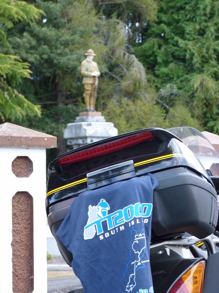 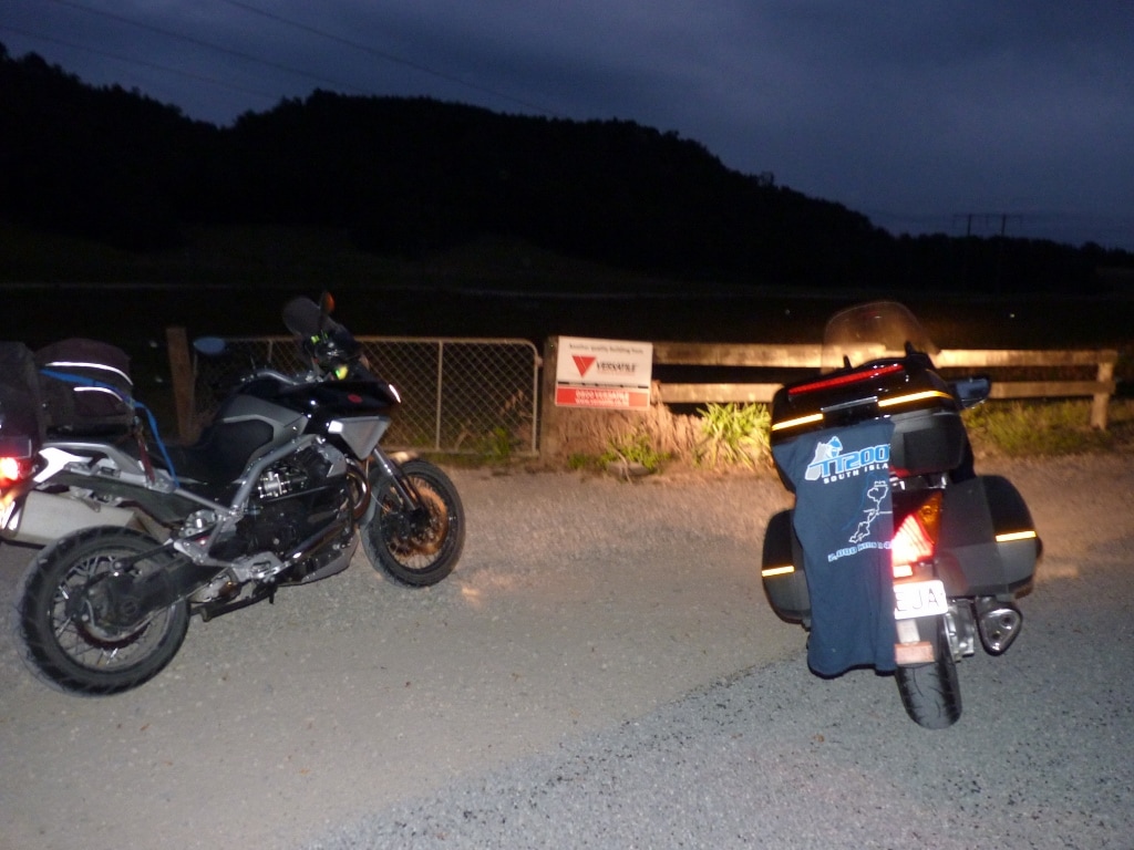 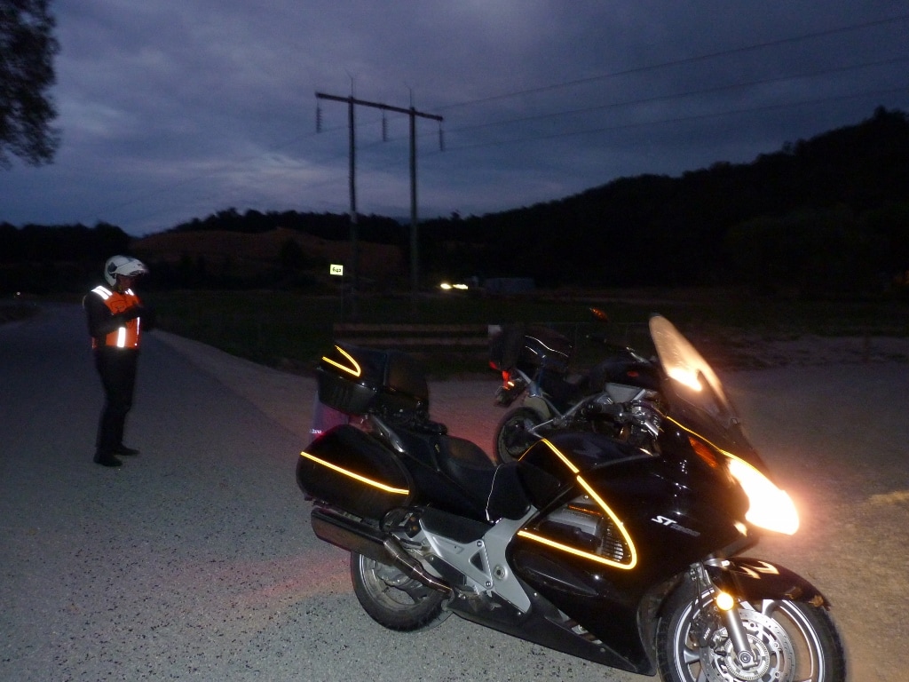 Day 3: We had decided that we would start a little earlier to give us time for a relaxed breakfast with the fuel stop in Greymouth, but with my dilly-dallying about (scrubbing myself, packing, topping-up tyre pressures on the bikes, cleaning visor etc) it was 0638 by the time we hit the road with Trev leading down SH6. It was still pre-dawn, but just light enough to see it was going to be a spectacular day with not a cloud in sight, (but that was all to change) and with the GPS ETA at about 1530, we only had 16 CP's to collect with our predicted stopped time at around an hour and extending that allowance on the CP's to 2 or 3 minutes, it was still going to be easy to be in by 1800. By halfway down the coast though, the clear skies had clagged over and the alps ahead of us had disappeared into the clouds and rain. It would be a nuisance if I had to stop to put the wets on, but although the road was often wet, we seemed to miss any rain and managed to get to Greymouth OK for a quick fuel-up on both bikes, then a nice big coffee and hot cross bun for me at the McCafe. By the time I led out for Arthurs pass, we were pretty much on schedule. Coming down SH6, I had found myself taking careful lines to avoid the tar slicks, but Trevor didn't seem to be phased by them on the Stelvio, the weather briefly looked liked clearing, but by the time we started to climb out of Otira, the weather had closed in and we were riding through a mixture of wet roads, misty rain and cloud. This caused me to slow and take care on the lines, so Trev scooted past and lead up to Arthurs, where I expected to find it clearing as we descended...but not so. It got worse! The rain was light and it was OK to still ride with the visor up, but by the time it got bad enough to drop the visor, moisture had got into the pinlock and I could only see through the bottom half, so I had to keep it at half mast. As we got down on the flat and approached Sheffield, the situation got worse whereby I was virtually looking through the thin strip of visor between the pinlock and the edge, but I persisted as we were nearly at our stop and I'd be able to sort it while Trev fueled. Sure enough, removing the pinlock insert fixed my problem, but the 95 pump was out of action, so Trev had to settle for $20 of 91, which would get him to Geraldine after we had collected the CP's at Sheffield, Hororata, Mt Sommers and Ruapuna. We both fueled at Geraldine as that would get me home and Trevor to Timaru, then walked across to the subway for lunch before continuing. Our next section took us along a mix of more straight Canterbury roads as well as some quite nice rolling Countryside to Ashwick Flat, then back down to Hazelburn. From there we were heading to Sutherlands and encountered another gravel road, which I normally avoid but couldn’t be bothered to take the time to check alternatives, so just rocked on in. It was straight, about 1Km long and relatively easy going...but there was a bloody great deep, rocky ford near the end....shit, bother and blast. I paused for a moment scanning for a route through and it was a deepish pool (possibly up to 60cm deep in the middle) so that was out and it had shallows on both sides with the left (outlet side) looking better, but tracking off would have me dropped into crap, so I opted for the right which had larger rocks but looked a safer prospect....yeah right! As Trevor would tell the story, I entered the water at a steady pace, the front wheel got pivoted on large rocks and the bike went down with me stepping off and the engine dying. I picked it up, he got his socks wet coming to my rescue, the bike wouldn't start, we dragged the 360’ish Kgs of bike most of the way out (up the bloody great steep mountain pass of a bank), the bike still wouldn't start, Trevor got his bike through on the left side, then my bike did start and we had lost 4 minutes.....but there's no evidence that any of this happened...so it's probably just lies!! What fool would take an ST1300 down a gravel road and then be doubly stupid enough to take on a ford with it??? Pfft....some people!! 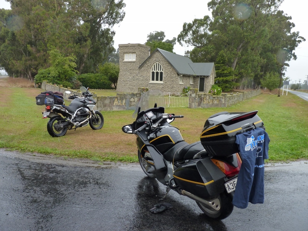 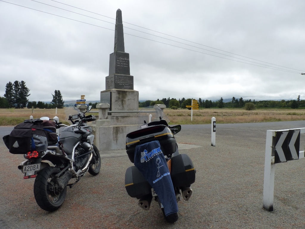    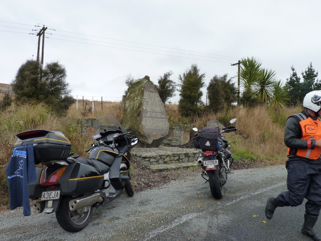 We soon had Sutherlands and Cave, then on to Mt Horrible, down to Southburn, over to Blue Cliffs, over, in and out of Esk Valley, (where I missed the opportunity to take another gravel shortcut!!) up to Otipua, then out to Timaru, picking up a CP and Trevor's last fuel stop. This section had a lot of double backs and loops taking in opposite ends of the same road ...I was totally confused and the GPS wasn't too sure either, so on two occasions, I had to manually input and overwrite the next CP...but we got there in the end and were down to the last two CP's and looking to get in at 1735. We continued through Timaru, scooted out to Milford, got back to SH1, where we got overtaken by an idiot riding a Harley (I guess that's not really that strange – it was a straight road loaded with other vehicles after all) made our way through Ashburton and Rakaia, crossing the river then getting the last CP at Mead, leaving there at 1702 for home, but when we got there (at 1734) of course we still had 12.5Km to go because I hadn't thought to change my finish point from Hampton Honda to the motor camp!! Bugger, that short hop took another 20 minutes but we still got in at 1754, prior to our 1800 target and completed our 2000 (plus a little bit) Kms in 48hours. We checked back in to the motor camp, advised Mike that we were back, then I downloaded the pix and tracklogs to a stick to make it easier for him. He turned up and was followed shortly after by Gremlin, who was back in town after his week's tour with Toto, so we chatted for a bit, finally collapsing at about 2300. Sunday to Chch –GPS Stats 132kph Max Speed 90kph Moving Average 70kph Overall Average 09:04 Moving Time 816km 11-20°C 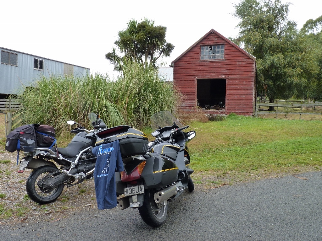  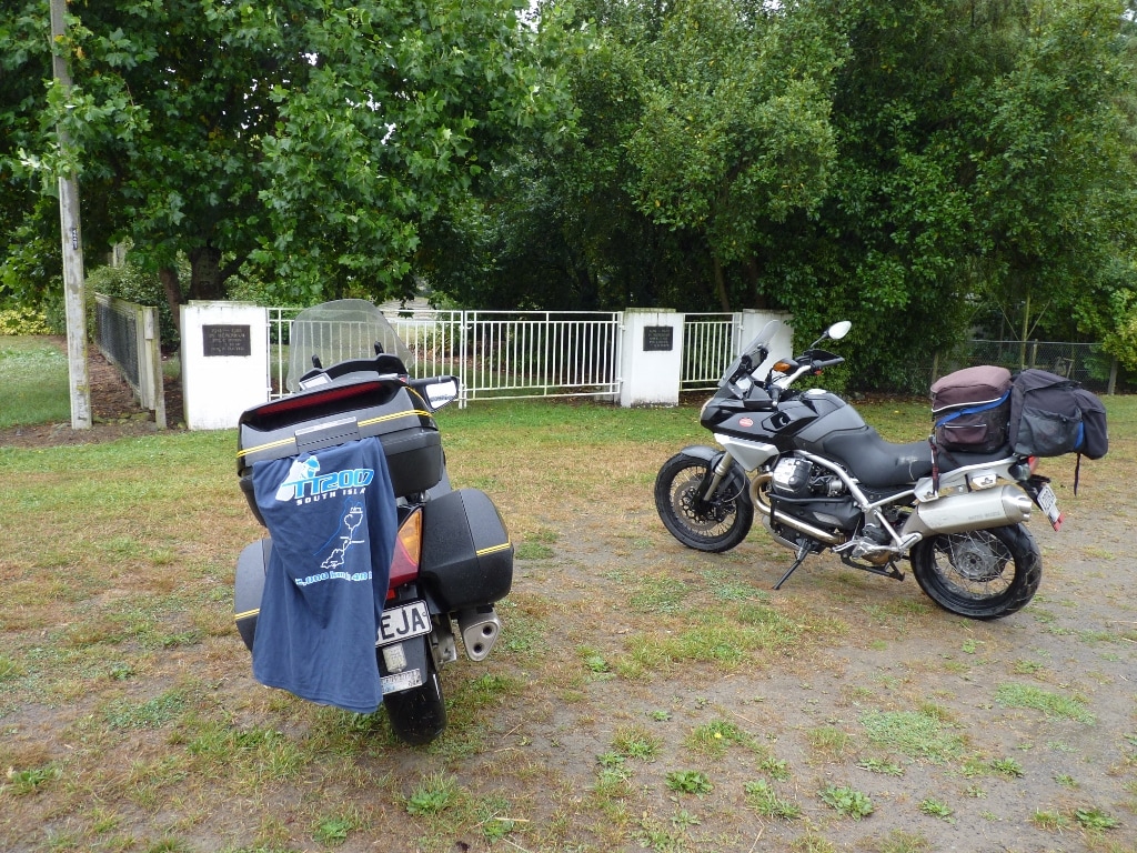 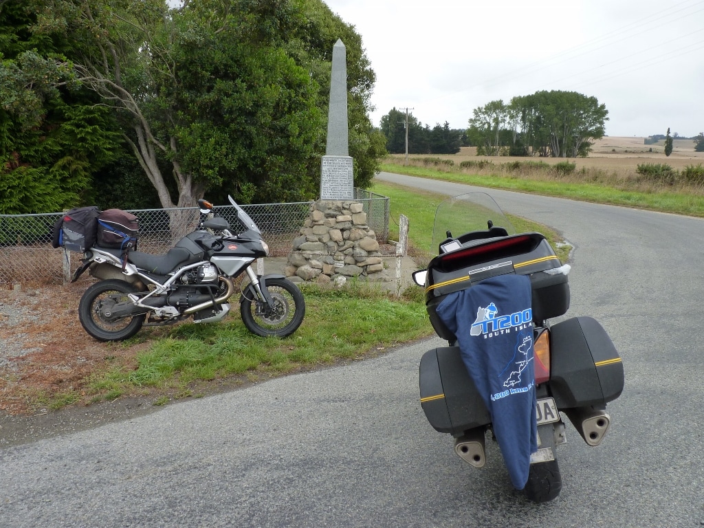 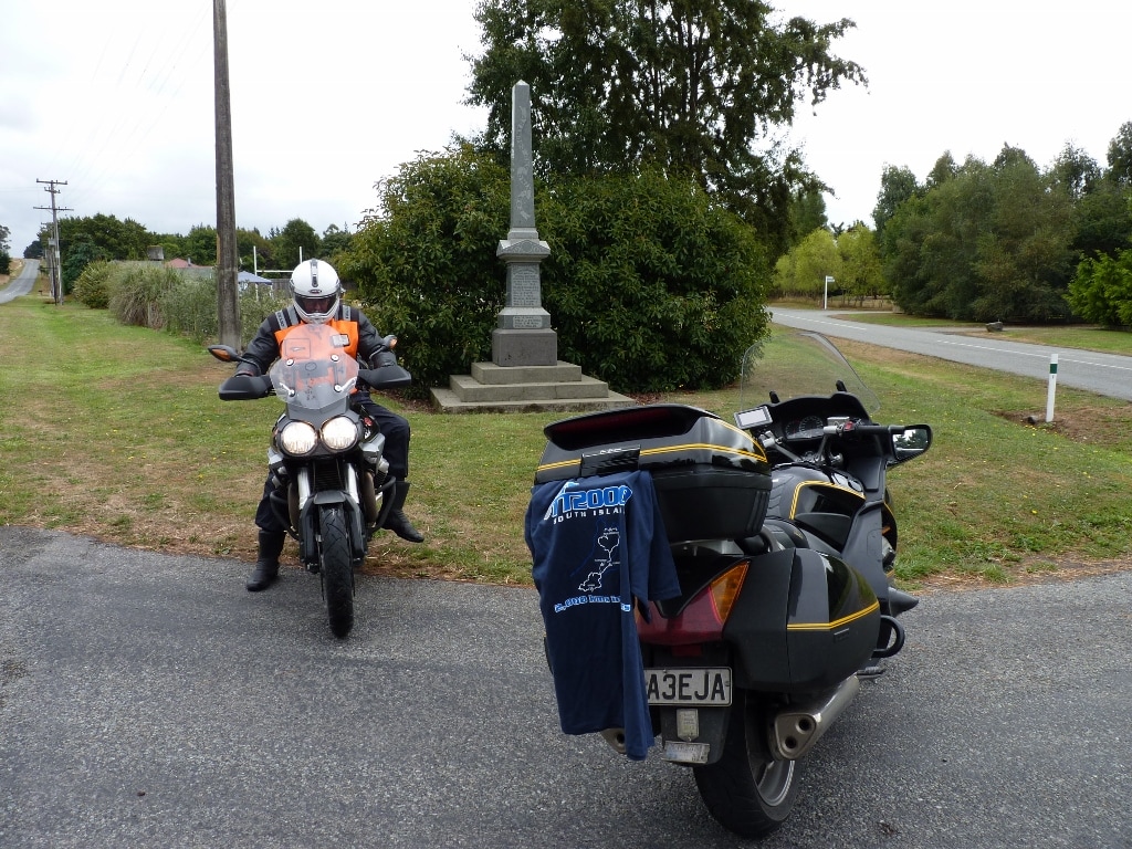 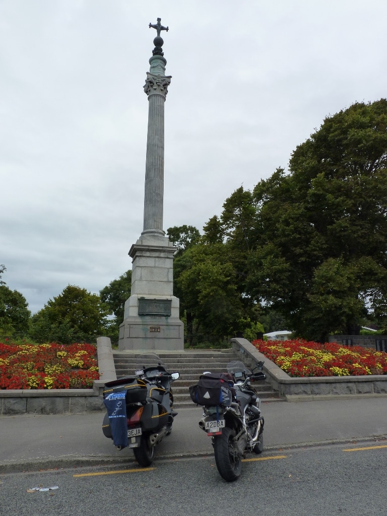 Day 4: During the ride, Trevor’s bike had been running a little rough, sometimes missing a bit, but settling to a situation where it wouldn’t pull over 5,000rpm. It still got along alright but did mean that some of his overtaking required a bit of a slingshot. On Monday morning he made a couple of calls and after cleaning up the bikes a bit, checking and topping-up the tyres, then packing, we went into town to have his bike checked by Motorcycles Downunder (the Guzzi dealership) They cleared one issue but it seemed apparent that one of the plug leads was breaking down so we were to continue to ‘limp’ home, departing at 1143, pausing for fuel at Z Shirley on the way out, then having a late brunch at Pukeko Junction (Leithfield) once we were clear of the city traffic. Trevor did ask for fries with his Bacon & Egg quichie-pie, only to find they only did healthy stuff. He led all the way back and the sedate pace (not much less than Friday) but without the heavy headwind led me to amusing myself by concentrating on getting the economy up. This turned out to be a bit disconcerting for Trev as I would get stuck in traffic, then take several minutes to slowly make up the separation….or just go off into a daydream, then realize I had slipped back a bit. I did have one wee moment where I swung wide to avoid a big slick patch through a right hand sweeper, then found myself drifting towards the shoulder, the heartrate rose and I had to divert my eyes through the corner to bring the bike back on track…..followed by murmerings like, ‘dickhead’, ‘FFS!! wake-up fool’. We had a pause for gas at Ward and finally arrived in Picton at 1635, so we made our way down to the terminal, checked-in and waited to board the ferry at around 1815. Monday to Wgtn – GPS Stats 127kph Max Speed 89kph Moving Average 66kph Overall Average 03:50 Moving Time 340+km 16-23°C I finally got home before 2200, reasonably shagged. We’d had a great weekend doing over 2800Km for the 4 days. Many thanks to Mike for allowing us to defer the ride, with him going out of his way to see us off and back in. The effort he must put in to identify the CP’s, do the website etc, etc must be huge. We had a ball and I will no doubt be back again for a No4. (Perhaps I should also see about doing a deferred run on my abandoned 5 Compass Points Run??)
1 Comment
|
Old Blog?
These blogs were posted on the KiwiBiker forum but I decided it was time for a change. Archives
January 2017
Categories
All
|


 RSS Feed